


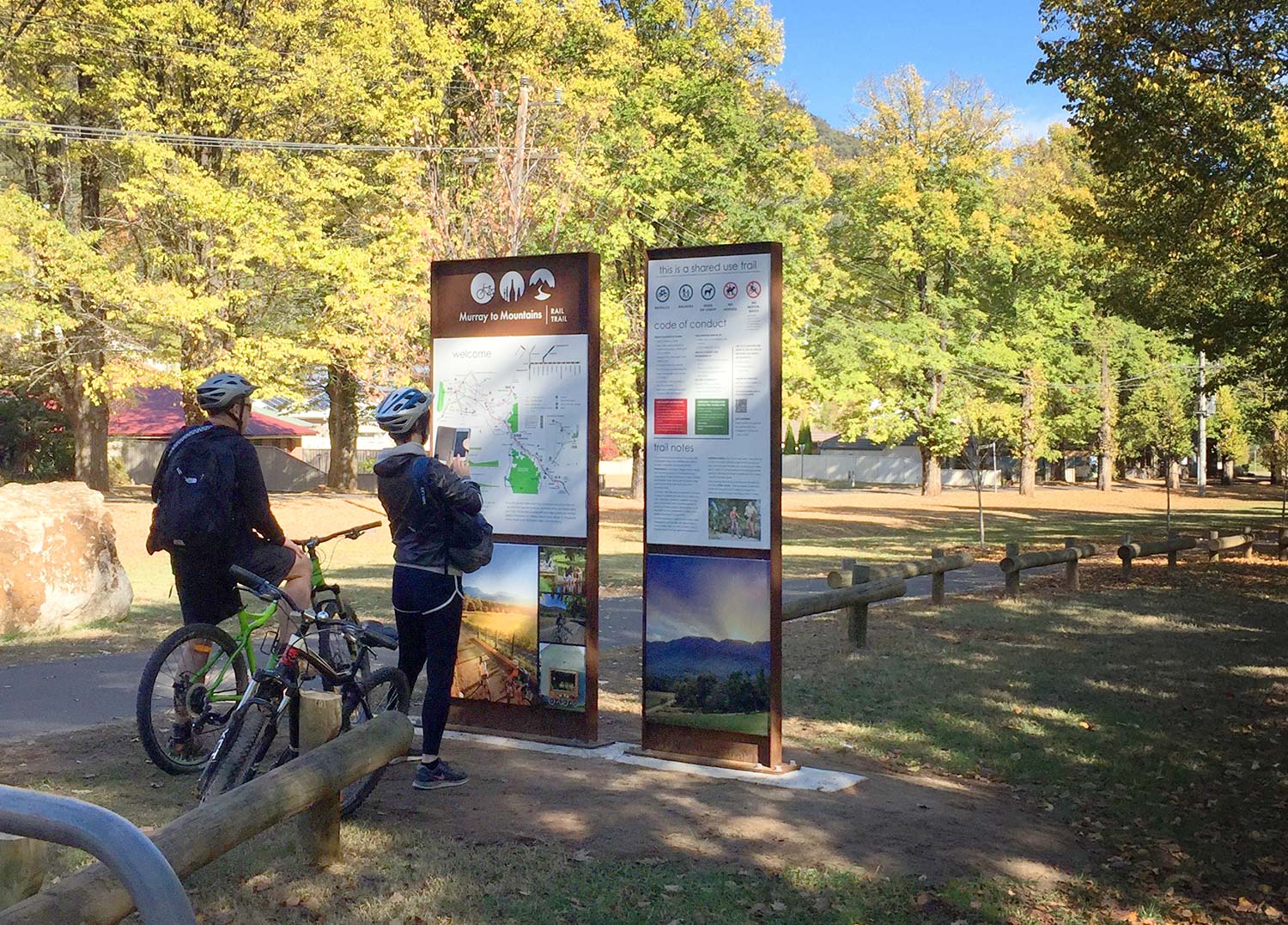
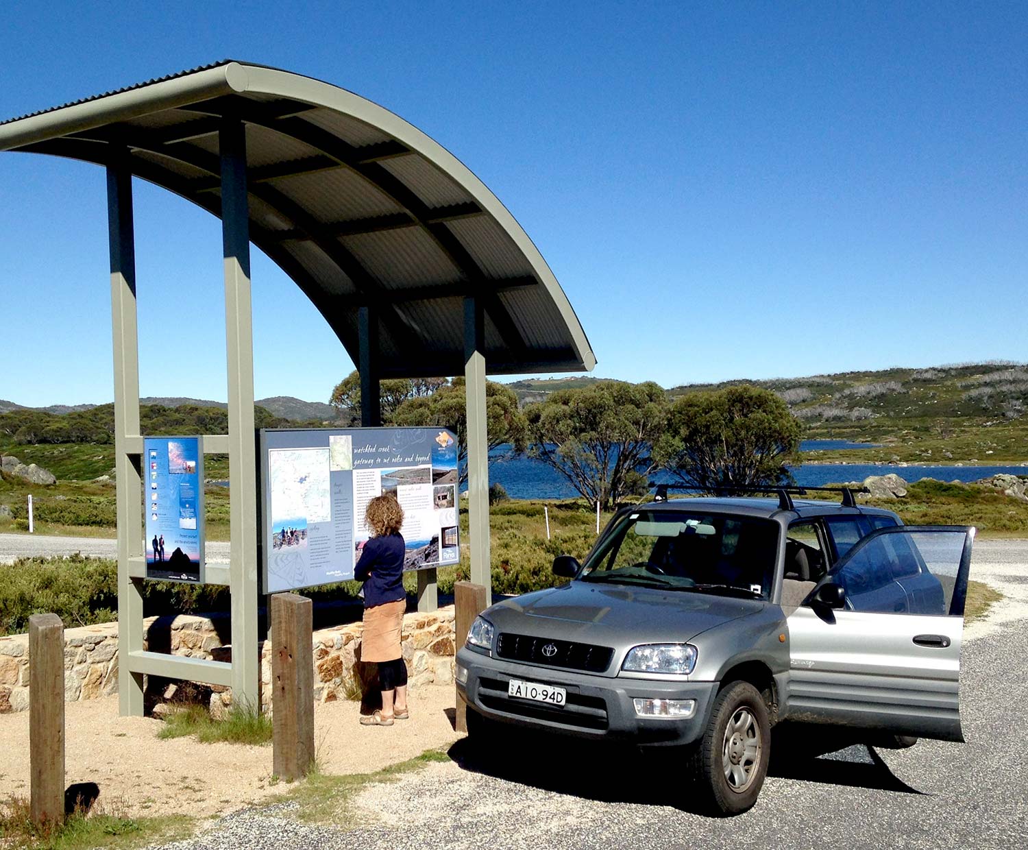


Interpretive signs invite users to attach positive meanings and values to their experiences in heritage settings. There are two types of interpretation signs – traditional and digitally integrated.
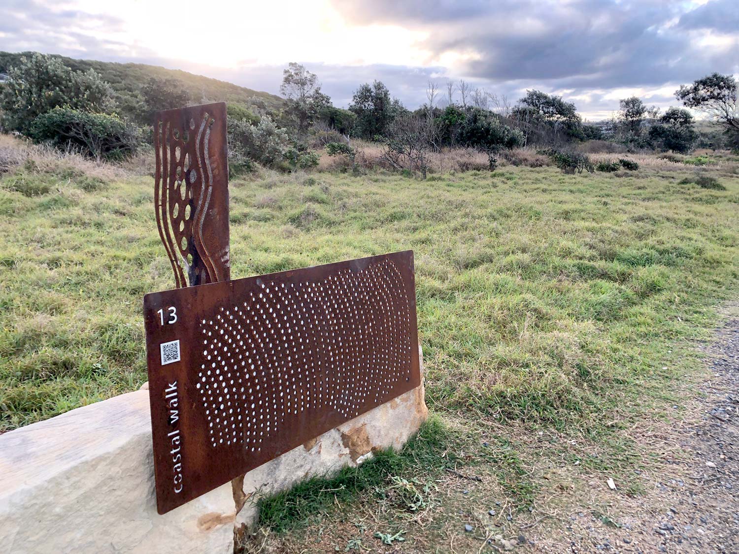
Traditional interpretation signs are the classic stand-alone entities where the sign content, aesthetic and narrative is limited to what is installed onsite.
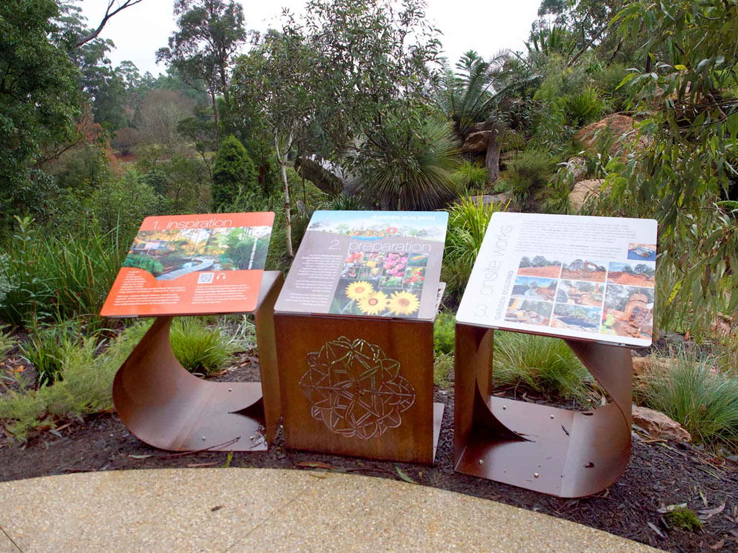
Digitally integrated interpretation signs by comparison have customised webapp support meaning they also stand as a portal to a richer online experience.
At a functional level this includes publishing the sign content in HTML to ensure it can be read or heard by a user irrespective of their physical ability or native language. Additional content can also be provided such as to allow the user to follow their own lines of enquiry in relation to the interpretive messages.
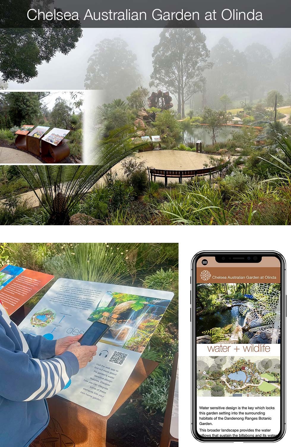
Above: A webapp both publishing sign content in HTML and providing a guided tour of the garden by the designer Philip Johnson was created as an integral part of the design and roll out of the interpretive signage for the Chelsea Australian Garden at Olinda in 2022. View the webapp ...
Given the variability of internet coverage across natural areas, both types of signage are important tools for land managers to have access to. Ensuring the experience provider can easily and simply deliver digital content in areas with adequate mobile phone reception requires customised responses that can provide the service at minimal setup costs and no recurrent expenses.
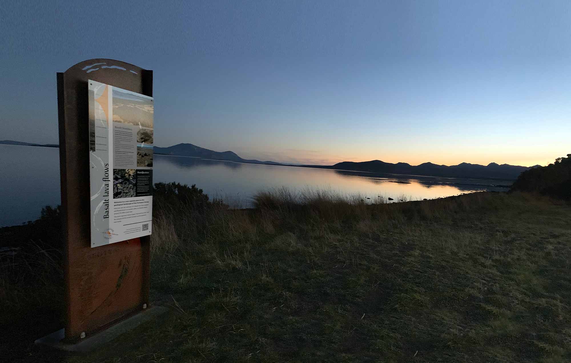
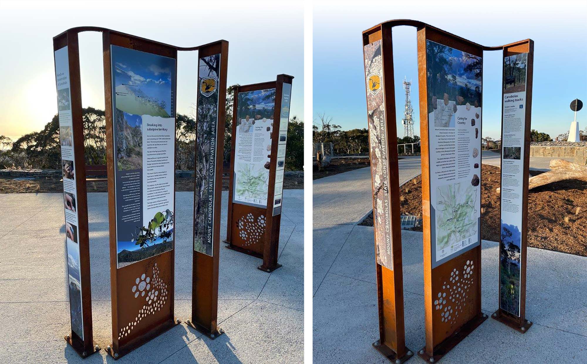
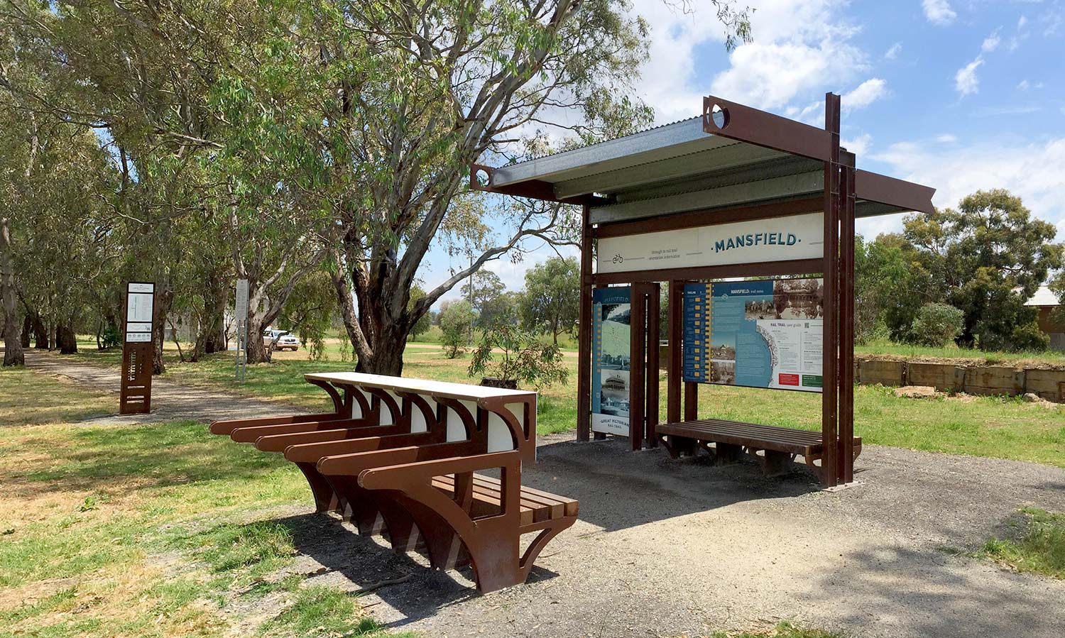
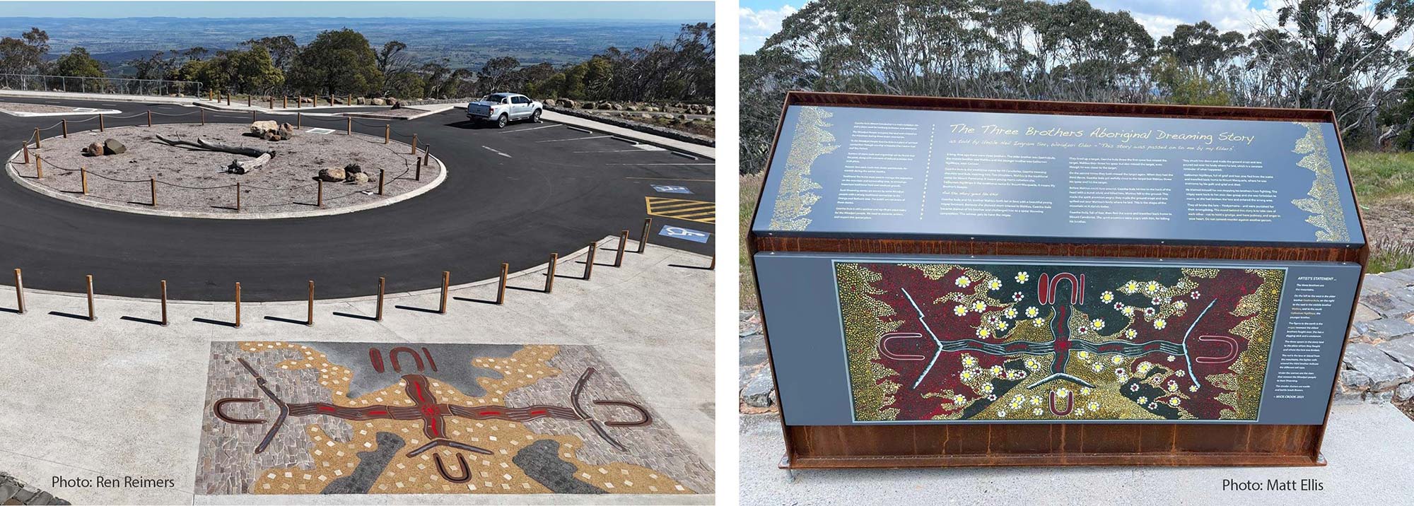
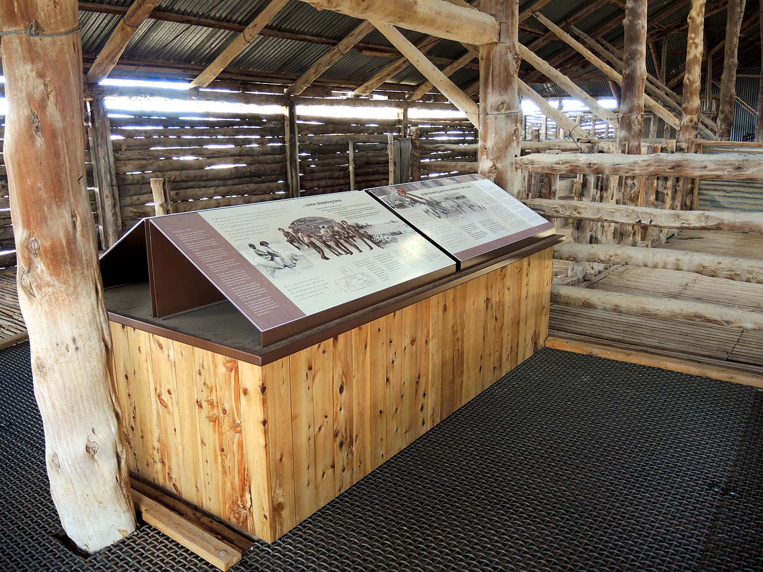
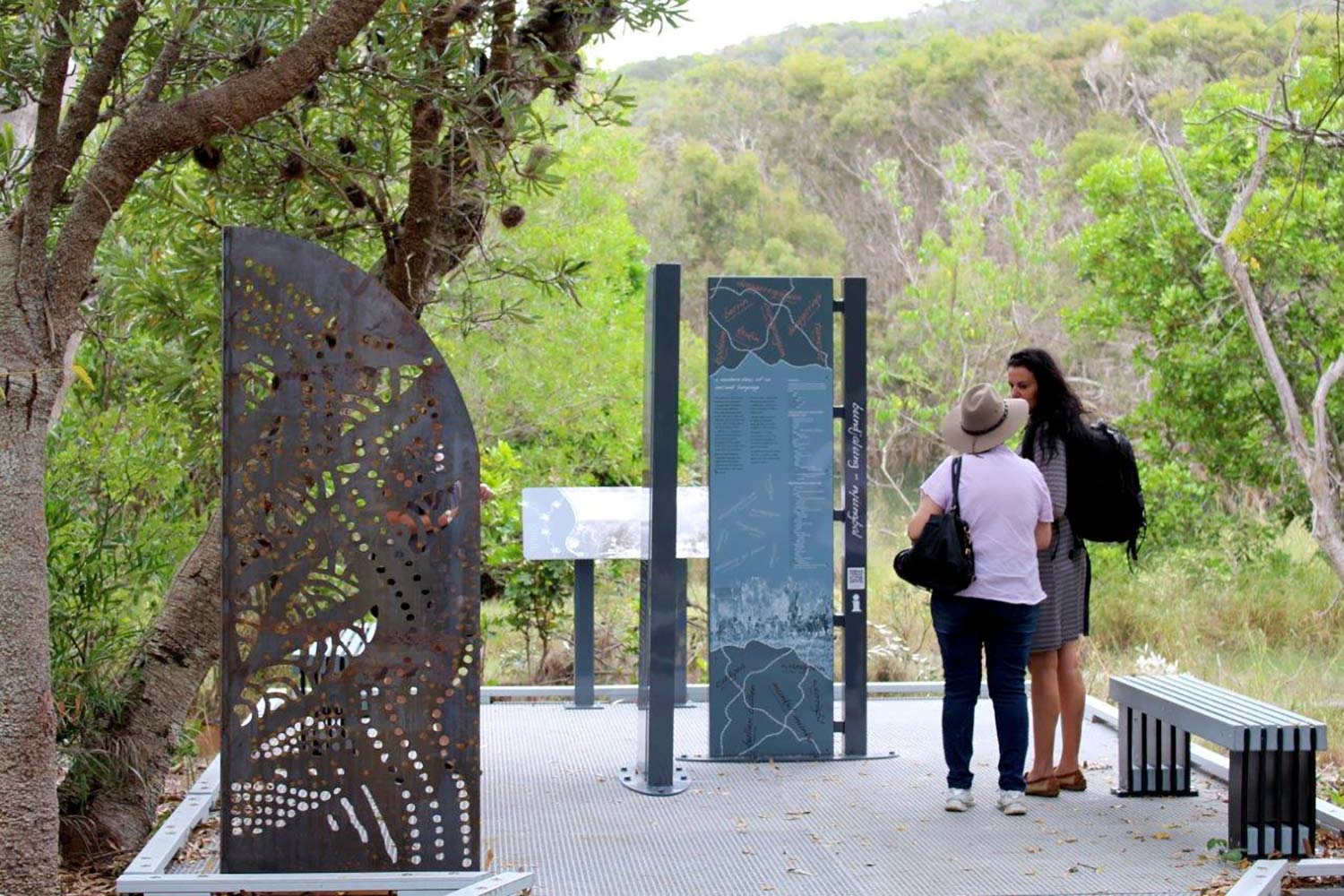
One thing both types of signs have in common is the need to connect with people on both a rational and an emotional level. This requires a considered focus not just on signage content and messaging, but also on the overall sign aesthetic including the landscape setting within which the sign is located.

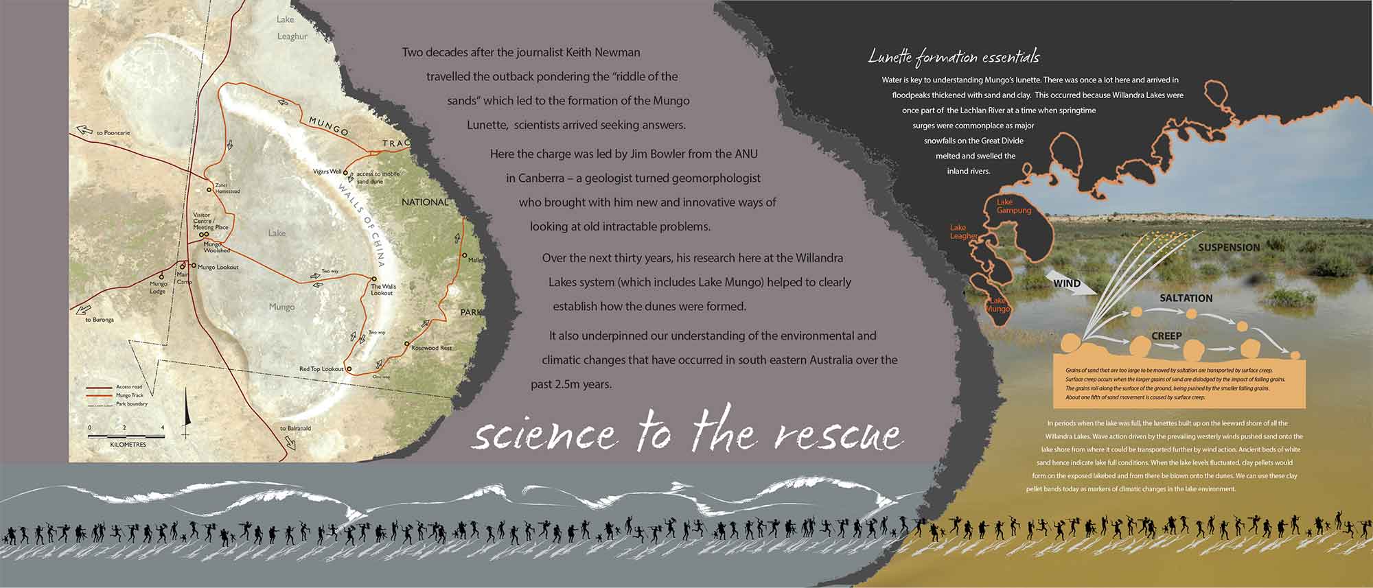
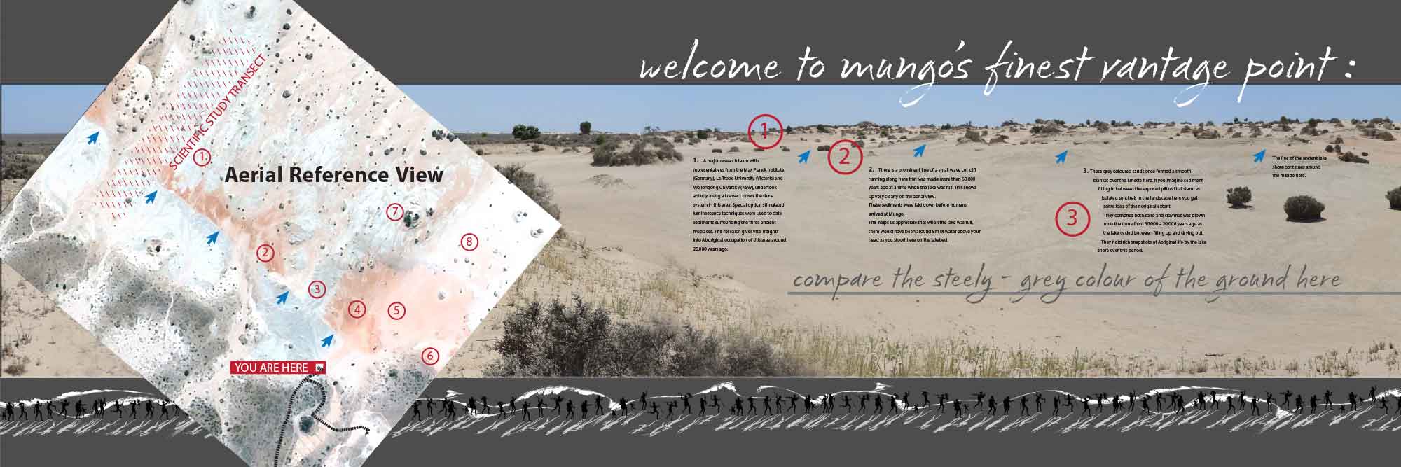
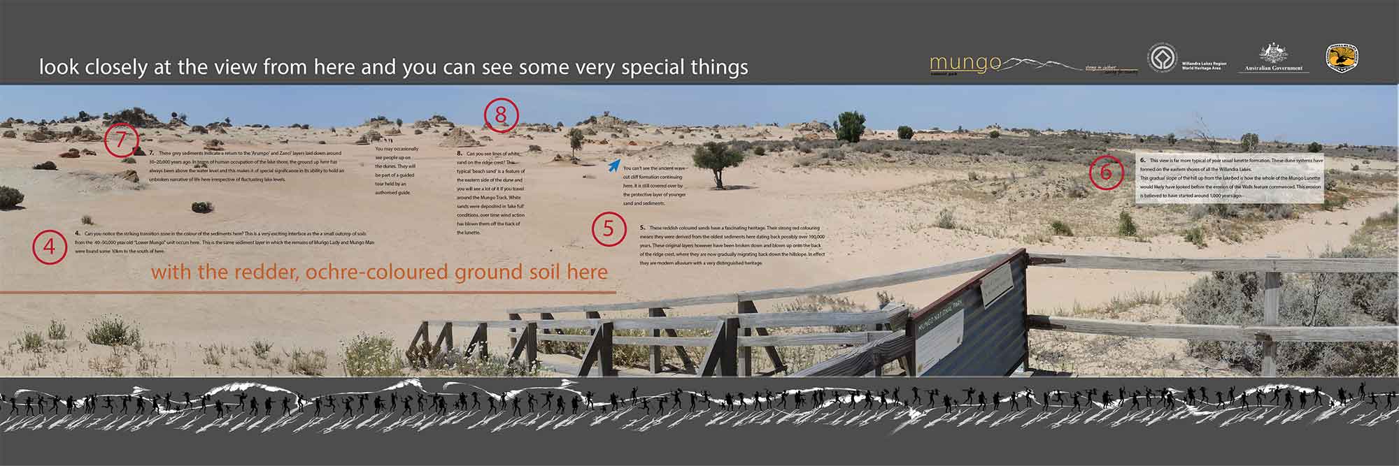
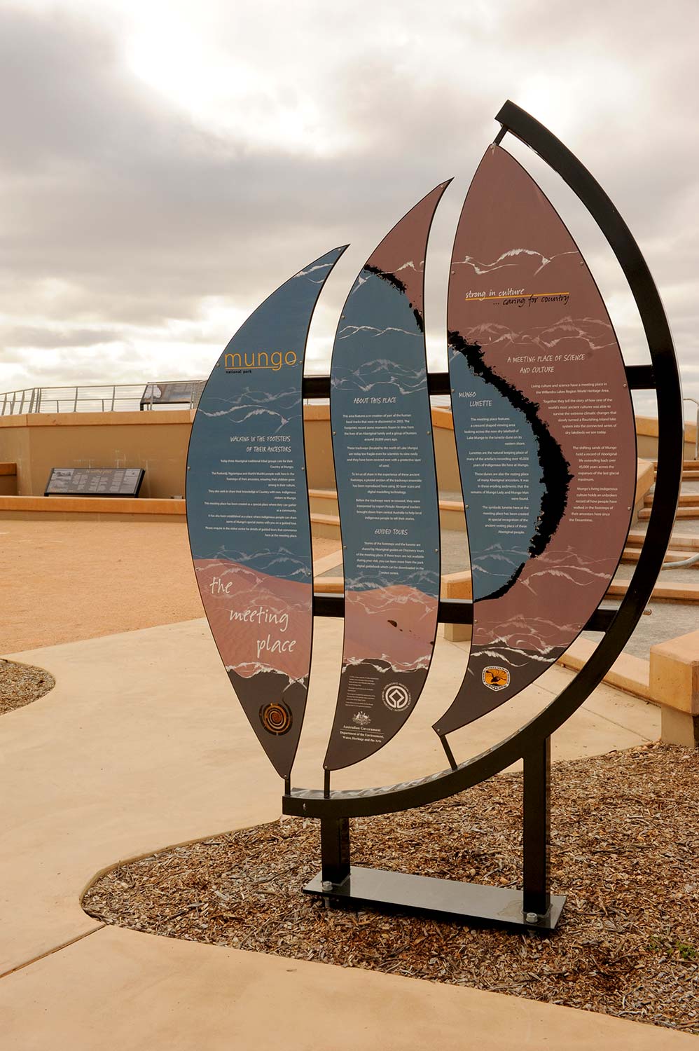
Above: Interpretive signage located within the Mungo Meeting Place, Mungo National Park
Users for example need to encounter the signage in a setting that invites them to step aside from their journey in a safe and sheltered location to take a moment to appreciate their surroundings. The delivery of effective interpretive signs requires a varied and diverse skill sets to bring these diverse threads together in an integrated manner.
At Nature Tourism Services we undertake all of the non material fabrication components of the interpretive signage process inhouse. We subcontract out the manufacture and installation of any signage elements to a select supplier base with whom we have fully integrated Total Quality Management systems.