nature tourism services logo Falls CReek Alpine Resort Bike Hub

First Nations Interpretation

scroll arrow

assisting First Nations communities
to share selected aspects
of their culture
where and when
they may wish to do so

canobolas summit pavement installation works in progress canobolas summit pavement installation works in progress canobolas summit pavement installation works in progress canobolas summit pavement installation works in progress canobolas summit pavement installation works in progress canobolas summit pavement installation works in progress canobolas summit pavement installation works in progress canobolas summit pavement installation works in progress

The redevelopment of the Mount Canobolas summit visitor precinct in 2021/22 was founded on the collaborative involvement of the Wiradjuri community in the project. They considered this an appropriate opportunity to share publicly for the first time the Three Brothers Creation story descriing the mountain's formation. An artwork depcting this story was created specialy for the project by Mick Crook. This artwork and the story is displayed prominently at the summit entry. Alongside it a special pavement treatment derived from the original painting was installed in collaboration with the artist.

footprint-motif

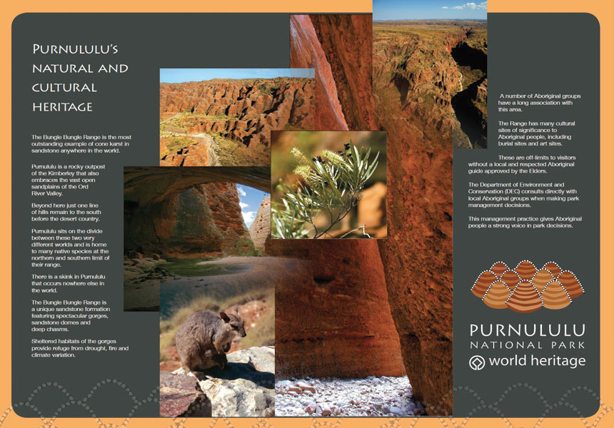
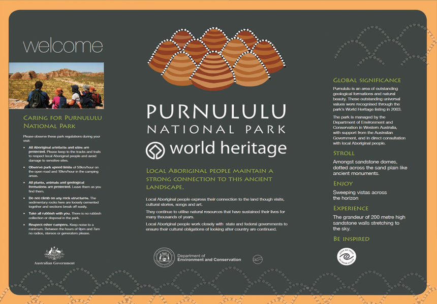
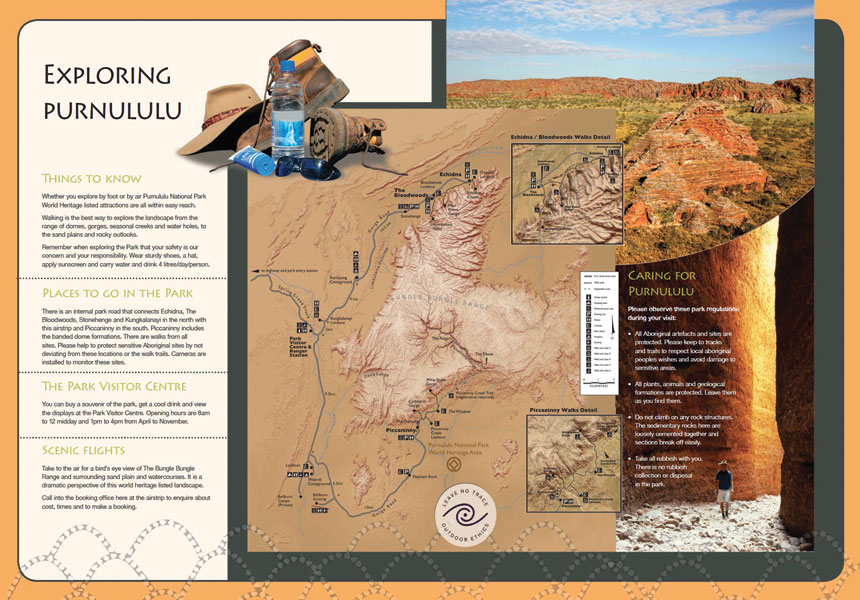
There is a single thread that runs through all of the project work we have been involved with regarding First Nations Peoples' cultural heritage interpretation.

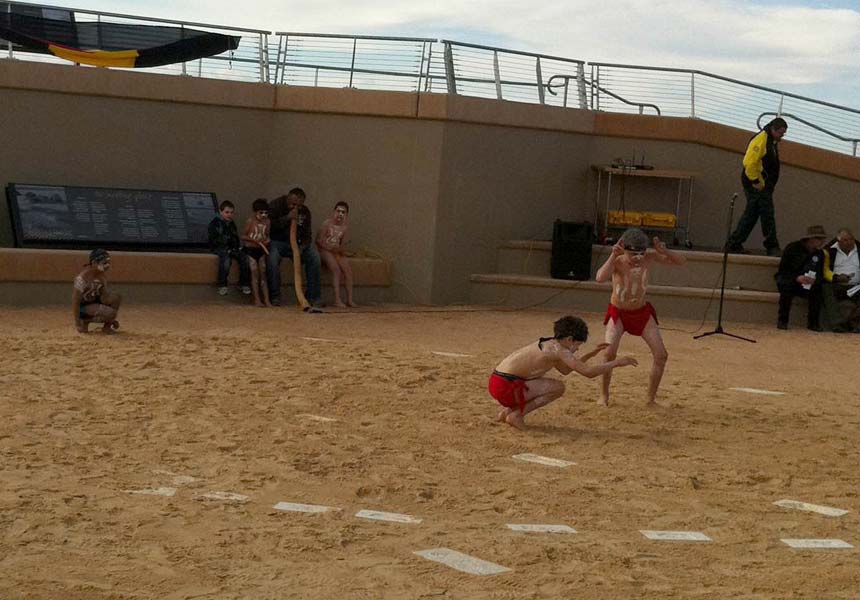
That is the desire of Aboriginal and Torres Strait Islander groups to protect and nurture the stories that sustain their connection to Country and to ensure their children grow up strong in their culture.

All other issues in relation to interpretation projects in this space run a distant second to this central premise.

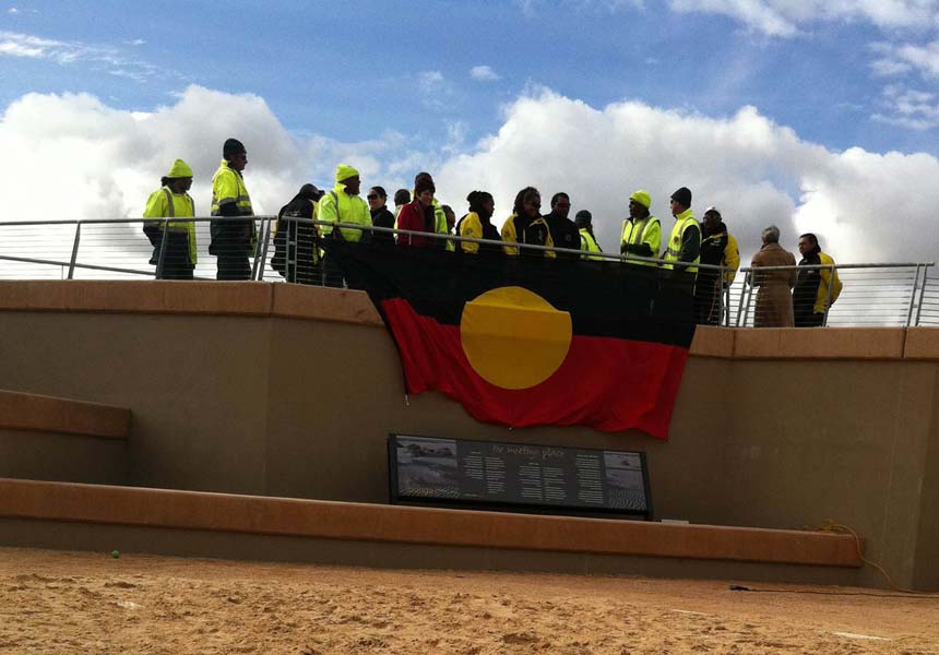
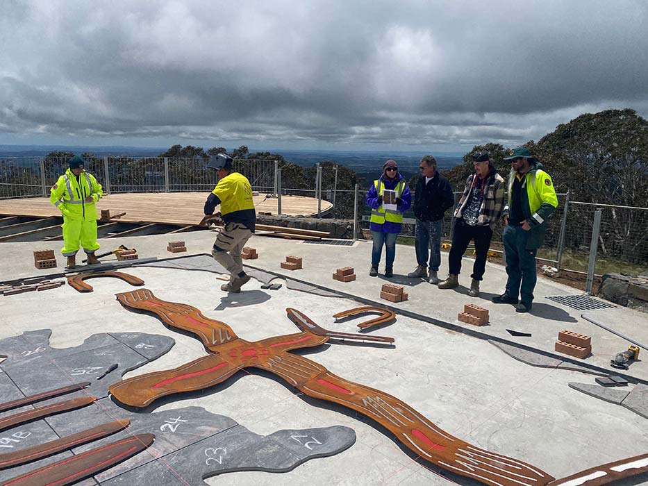
A feature of First Nations Peoples' interpretation projects is the way in which teamwork is always a central ingredient to a successful outcome.

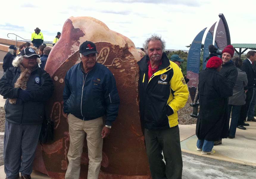
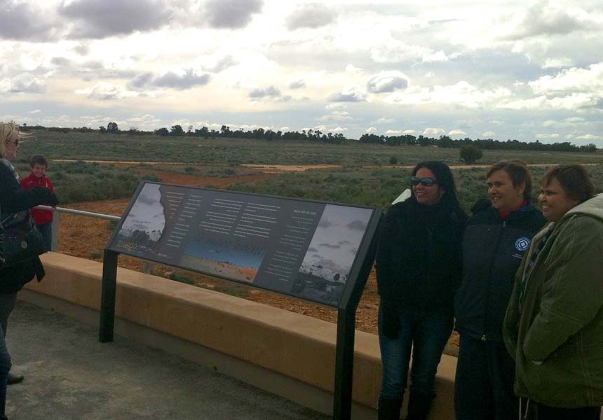
Our involvement typically comes on the back of extensive community collaborations and consultations that have brought a project to the point where both funding and a commitment to proceed have been obtained by the key stakeholders.

Our task is then to work in with these existing networks to deliver the outcomes they envisage.

This requires an ability to quickly and seemelssly integate into the project team in a way that introduces both the required vision and expertise whilst ensuring this is always in accord with stakeholder wishes and expectations.

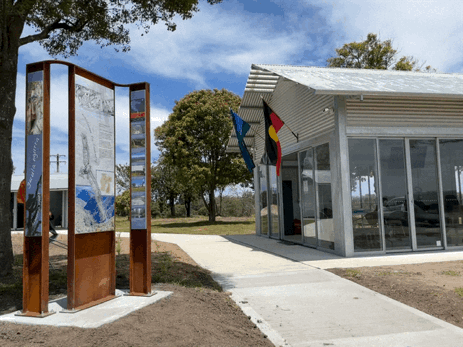
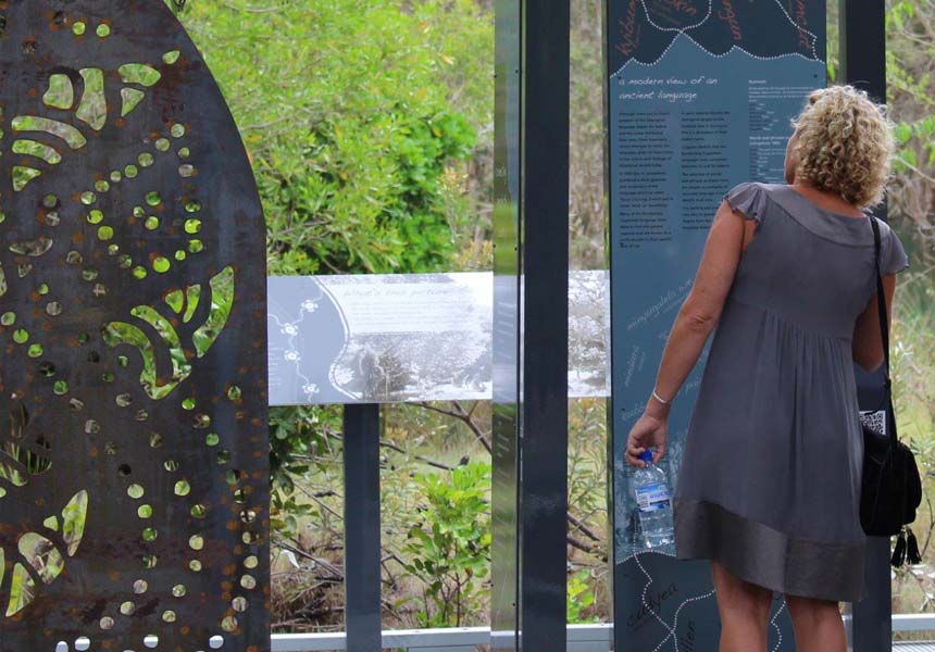
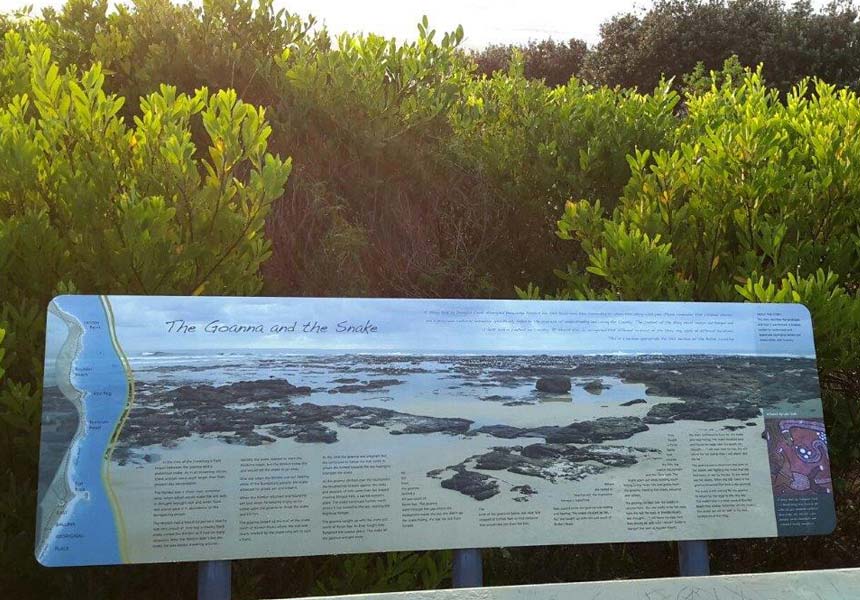
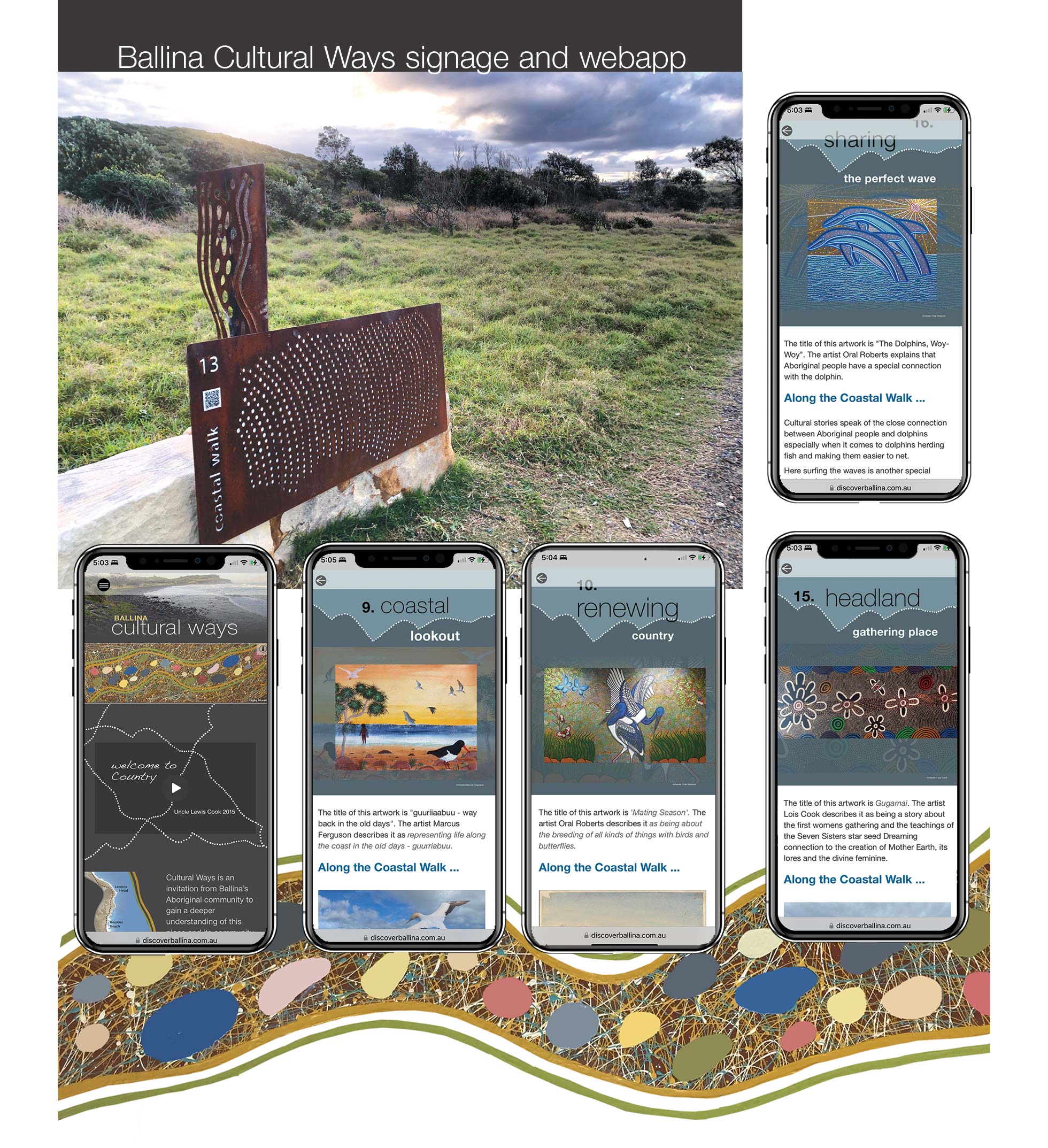
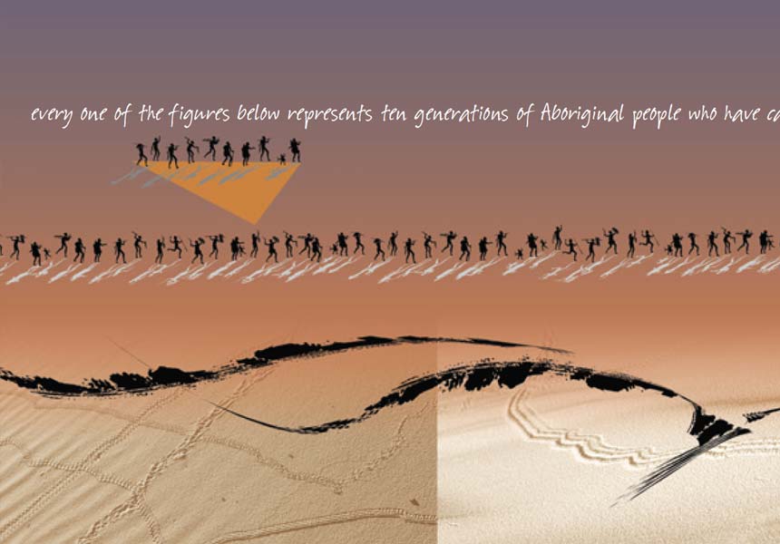
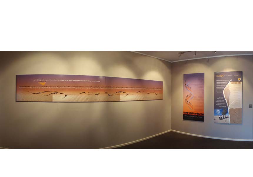
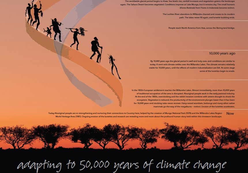
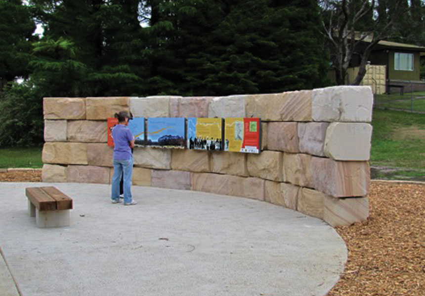
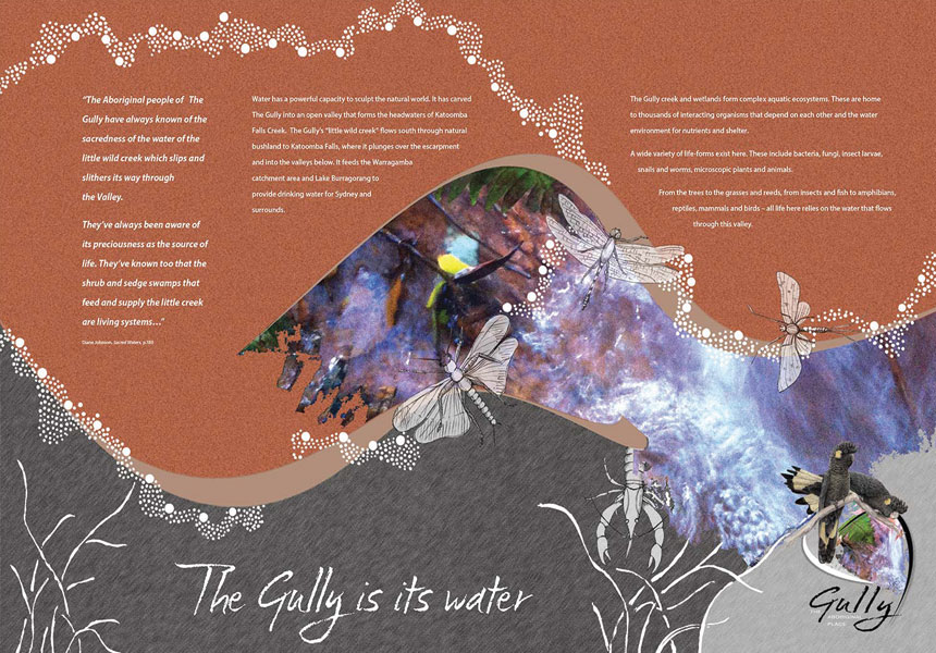
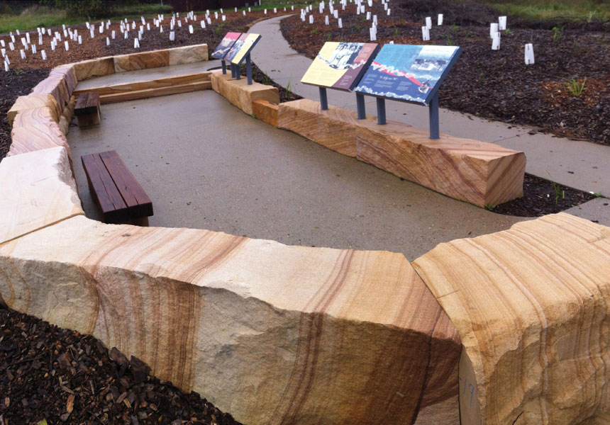
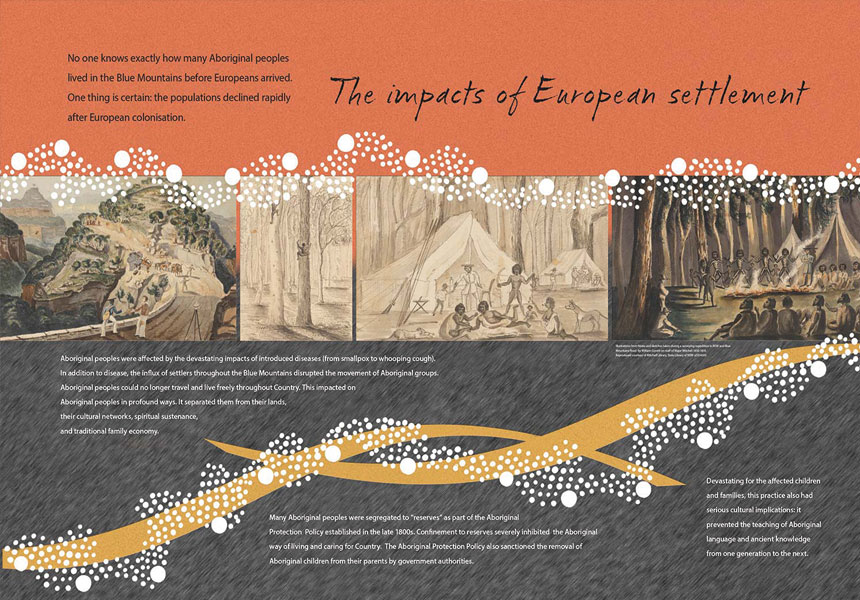
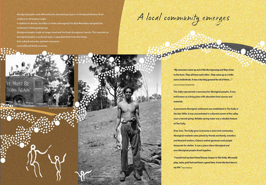
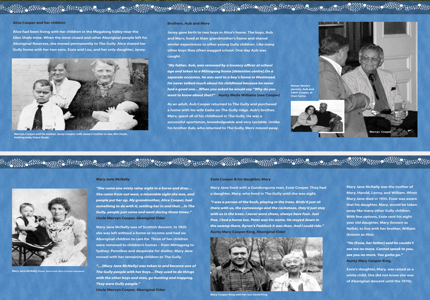
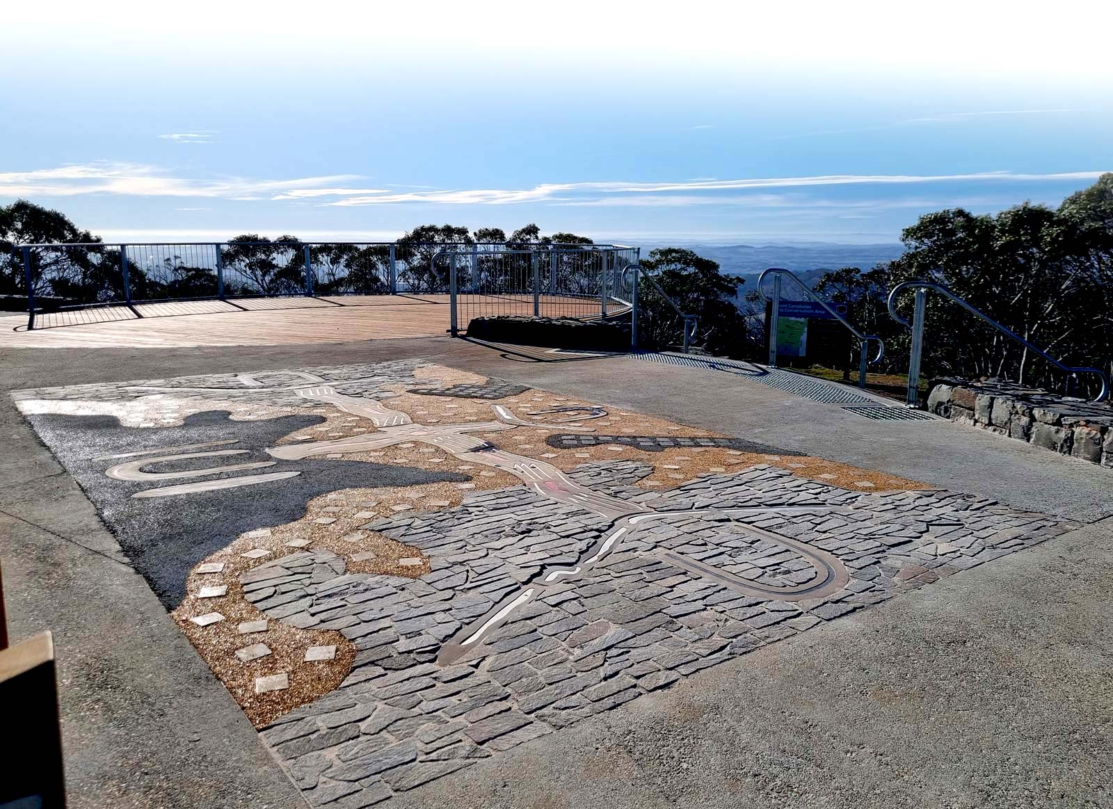
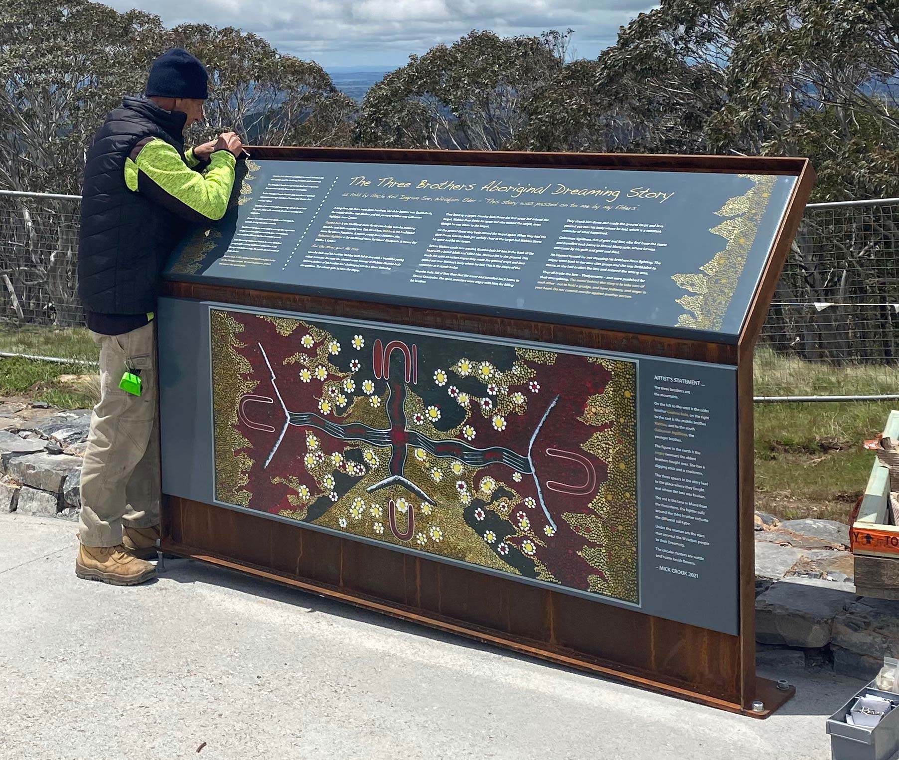
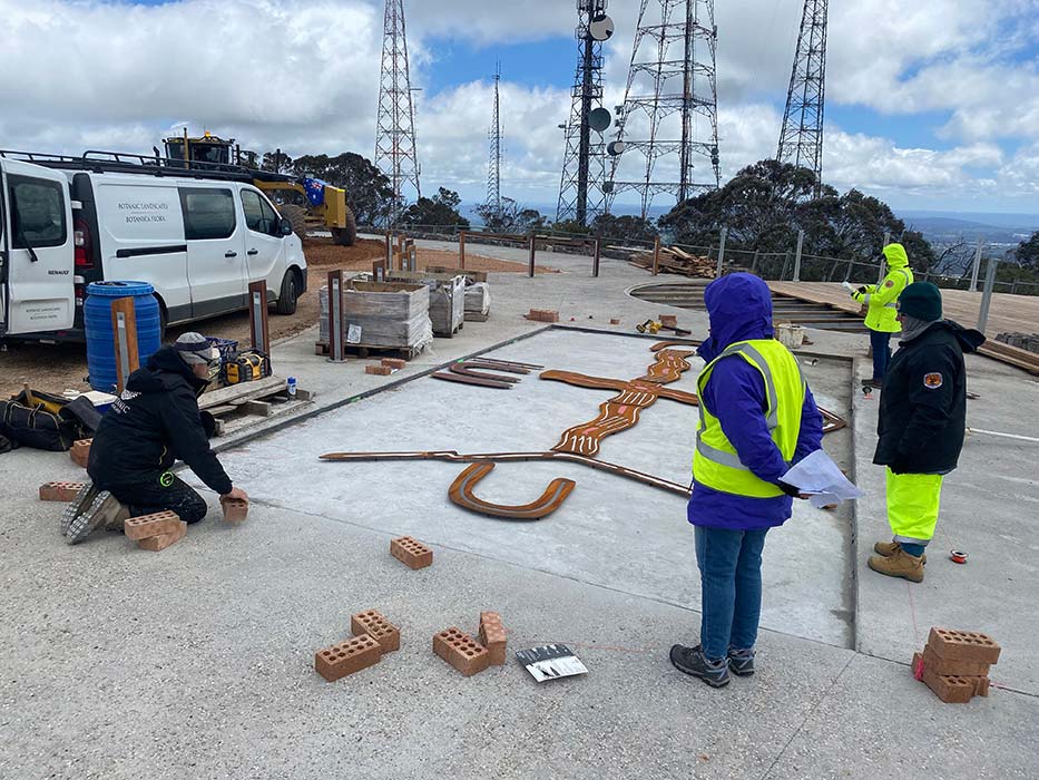
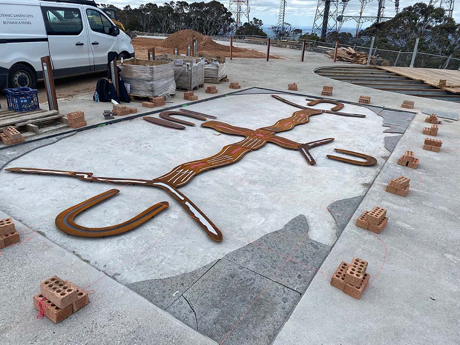
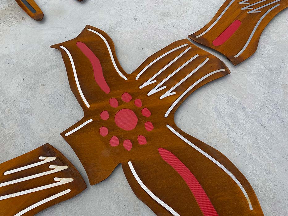
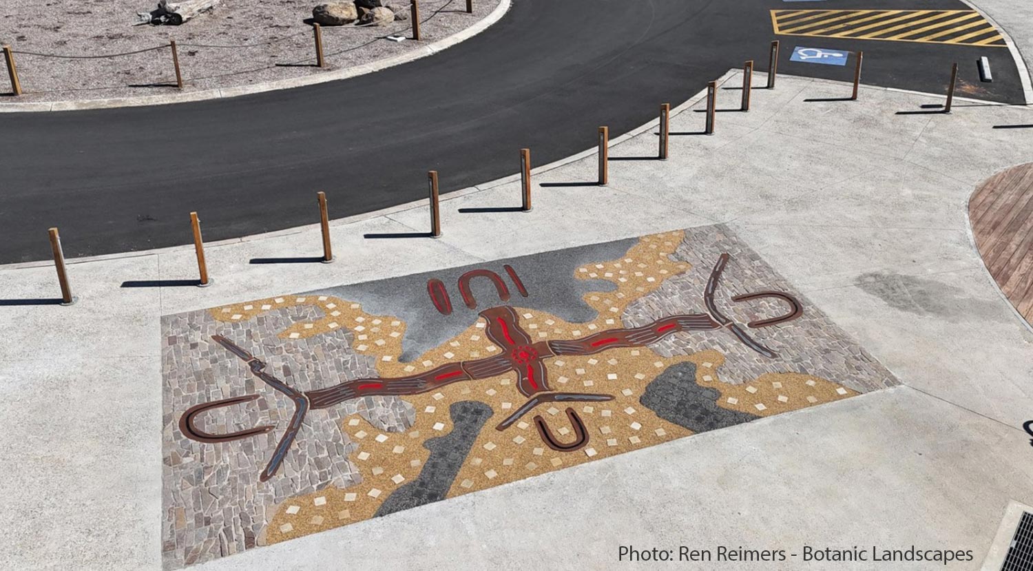
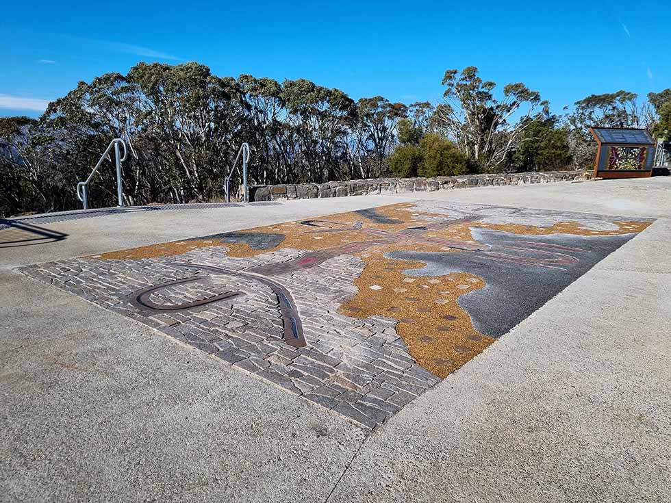
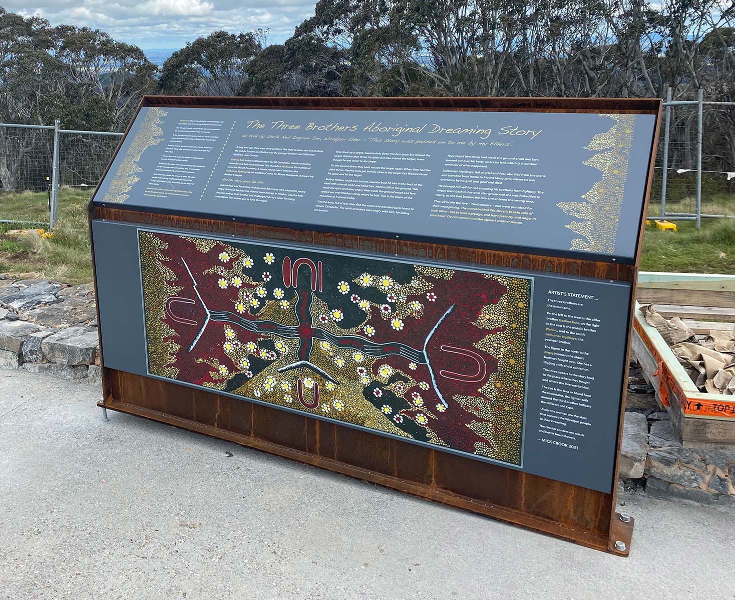
Working with original First Nations Peoples' artwork to enrich interpretive designs can provide a vital way of grounding the overall message suite on its indigenous cultural heritage foundations.

Guula Ngurra interpretive display

This tri panel display was produced in 2021 for Gundungurra community for installation as part of their meeting place on Country in Guula Ngurra National Park in the southern Blue Mountains.

footprint-motif

Project examples

ballina signage

I reckon it’s great to put these panels up and let the children know what happened here because its not taught at school or nothing - they didn’t want it to be taught

comment from a community elder at Ballina in 2016 regarding the installation of signage at East Ballina Aboriginal Place - the location of a massacre of Aboriginal People in the late 1850s.

East Ballina header
scroll-across

The opening of the Ballina Aboriginal Cultural Ways project in February 2017 represented the remarkable culmination of a decade's work on the part of the local Aboriginal community working in conjunction with Ballina Shire Council to find a culturally acceptable means of communicating the tragedy of the 1850s massacre at the East Ballina Aboriginal Place while celebrating the strength and diversity of present day First Nations Peoples' connections to Country.

The catalyst for the solution came with the development of the Coastal Recreational Path through the Aboriginal Place connecting East Ballina with Lennox Head some 10km to the north. This project formed part of the the stage 1 roll out of the path's construction. It received notable innovative input and support from the Council engineering team involved in the path's construction.

Nature Tourism Services was employed to undertake the interpretation planning and signage/graphic design for the path. Part of our strategic input involved the inclusion of 'step-aside' nodes along the path, where people could engage with the surrounding environment free from the distraction of passing cyclists.

A wonderful asset for the project was the vibrant artwork that was contributed by a number of local First Nations Peoples' artists. These art resources were both used in their entirety as well as being accessed to derive motifs such as could be cut out of material like Corten steel.

This panel shows how the Thomas Dick collection of photos of Aboriginal life he "staged" in the decades around the First World War, were used cautiously to invite viewers at the node to imagine the scene before them as it may have looked at a time when traditional lifestyles were still in evidence at East Ballina.

A major feature of the trail was the creation of an entry node, 'gateway'"' precinct. At this point visitors are invited to use their mobile phones to access a series of audio recordings of the community elders talking about the project and other matters of cultural relevance. These recordings are carefully hosted such that they are listened to when people are actually there on Country.

The inclusion of these recordings in the platform represents a remarkable achievement on the part of the shire council, project archaeologist and Aboriginal liaison officer team. Their work involved not just undertaking the recordings, but rather earning the trust of the local community to ensure that this material would be used in a culturally appropriate manner over which the elders would have full control.

A key part of the liaison work undertaken by the Council / Aboriginal liaison team was to ensure that creation stories were presented in a very qualified and culturally considered manner. Again - the wishes of the community elders were central in determining that the communication of this material was appropriate.

footprint-motif ballina cultural ways webapp and signage footprint-motif mungo meeting place
scroll-across

The opening of the Mungo Meeting Place in 2011 celebrated the presentation of a re-created section of Mungo's renowned human fossil trackways - the world's largest collection of ice age human footprints. We were part of the Epacris Environmental Consultants Project team that undertook the work. Our role was in relation to interpretation planning, signage design and graphic design.

The re-created trackway sections are housed within a major custom built amphitheatre that formed the major undertaking for the project. This picture was taken at the opening ceremony.

Signage elements and installations including a major artwork by community elder Badger Bates are located around the amphitheatre. This helps ensure that the footprints are presented in an unencumbered major open air setting where they can be interpreted to visitors on tours run by indigenous guides.

Signage elements are also discretely located on the top of the wall overlooking the amphitheatre where major views are had across the Mungo Lakebed to the Mungo Lunette.

Inside the visitor centre new displays were installed to help support the footprints installation. This motif features figures drawn by Aboriginal artist Tommy McRae in the 1870s to present some concept of the reality of over 2,000 generations of human habitation at Lake Mungo.

An 6m long signage panel features the human figures with each figure representing ten generations.

The figures are also used to explain the environmental changes that Aboriginal people managed to adapt to over this time.

This overview gives a good perspective of the extent and components that comprise the meeting place.

footprint-motif the gully aboriginal place
scroll-across

In 2012 we undertook the interpretive concept planning and signage design for the walk around the Gully Aboriginal Place at Katoomba, NSW. The project was undertaken as part of a team assembled by Blue Mountains City Council and included stong and ongoing input from the Gully Traditional Owners into both the sign content and designs. These works were very much a collaborative enterprise.

A feature of the walk was that it was accompanied by very significant landscape intervention to create both the pathway and visitor nodes along its length. The entry node is shown here.

The dotted design motif that underpins the layouts of all the signs was provided by a local indigenous artist. The Gully community were adamant that strong vibrant colours be used across the sign set and this worked to the project's advantage.

Signs were intentionally clustered into nodes where the visitor was invited to step aside from their journey and enter a place of repose where they could appreciate the stories on offer.

The devastating impacts of the arrival of European settlement on Aboriginal culture was established as a backdrop against which to present the way in which the Gully provided a place of refuge where the community could survive.

The positive story of how the community survived and maintained its own identity and cultural connections with the land is a feature of the signage.

The central node of the Gully Walk provides an "inner sanctum" where the detailed personal stories and memories of the Gully community are presented to visitors.

These detailed stories were separated out from the more generic narrative that underpins the overall trail so as to give them their own special place and ensure that Gully families today can easily go and share their Gully heritage with their children.

footprint-motif purnululu national park
scroll-across

We have undertaken two major blocks of graphic design work for the Purnululu National Park World Heritage Area. The first was in 2006 when we worked with interpretation officer Rory Chapple to provide a whole of park signage upgrade. The second was in 2013 when this ensemble was updated by WA DEC interpretation manager Gil Field to meet new corporate design guidelines.

Our upgraded design in 2013 drew heavily on the inital design palette we had established in 2006. In particular we used a design motif extracted from the park logo to give the designs on a strong indigenous presence.

A feature of our work on the project was the need to provide highly accurate and relevant park walk details and orientation information. To this end, the intricate map we created in 2006 was a pivotal design element that we updated to take account of park upgrade works.

24hr signage is provided outside the visitor centre via a series of orientation signs. These demonstrate our use of deep etching of photo content to highlight relevant imagery.

We were careful not to clone design responses so as to ensure that visitors approached signs with a fresh sense of encountering new, locality specific content.

Along with visitor orientation signs, interpretive panels explaining the underlying geology of the park were also a crucial element of our design work. Here we made use of the logo motif to provide the design structure for the panel.

A feature of our entry signage for the renowned Echidna Chasm precinct was the creation of a birds eye view map using a mosaic of aerial photographs assembled and reworked in Photoshop.

As part of the signage upgrade, a series of 14 trackside interpretive panels were designed for a nature trail. Commenting on these the interpretation manager Gil Field noted: “These are great. Really eye catching. You have found better photos for some or done marvellous things with what little I gave you ... really impressed mate."

footprint-motif

other First Nations examples

footprint-motif